சரிபார்க்கப்பட்டதுAgri Landவிற்பனைக்கு
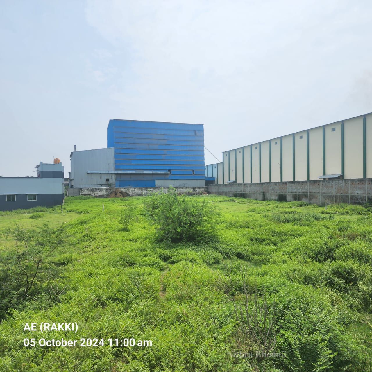
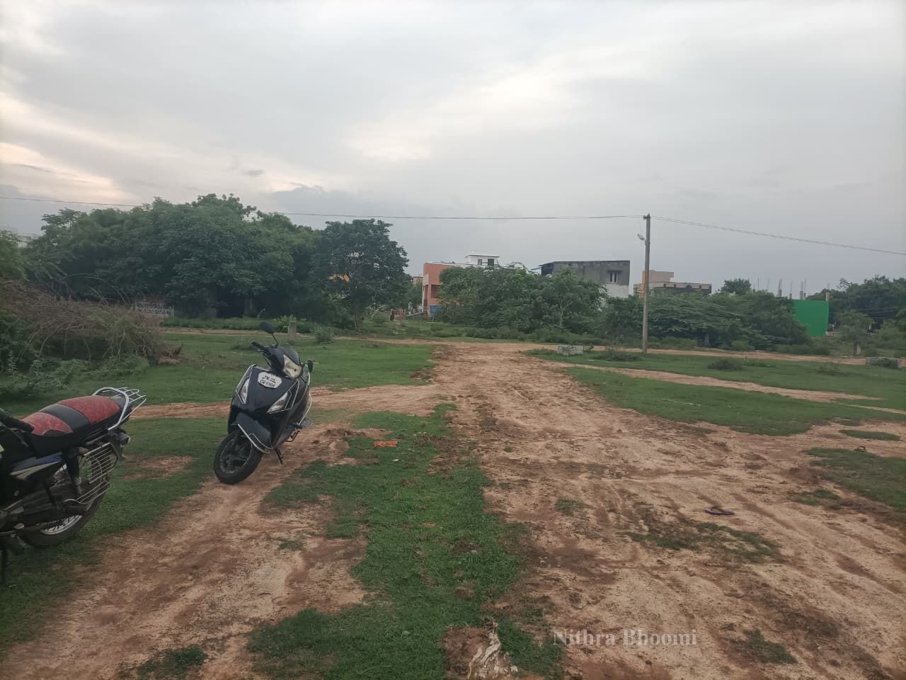
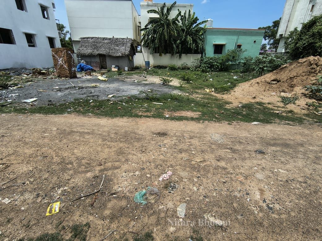
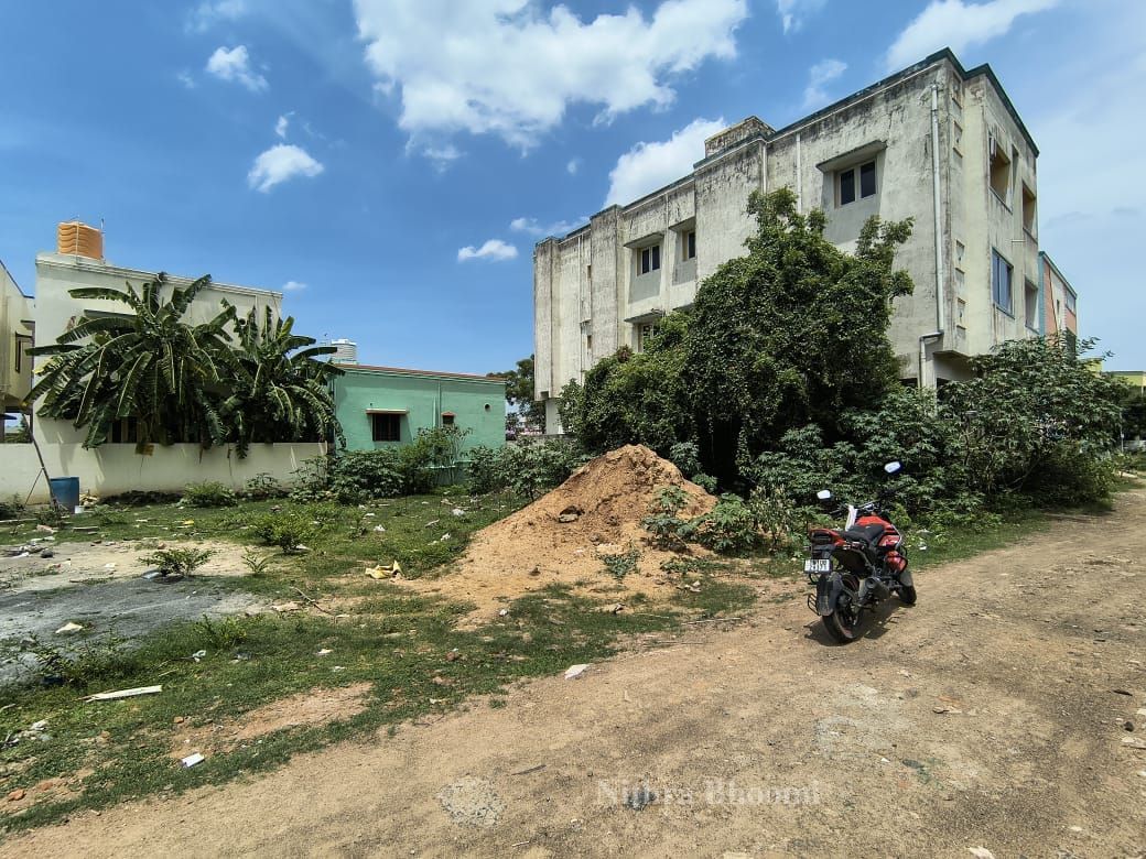
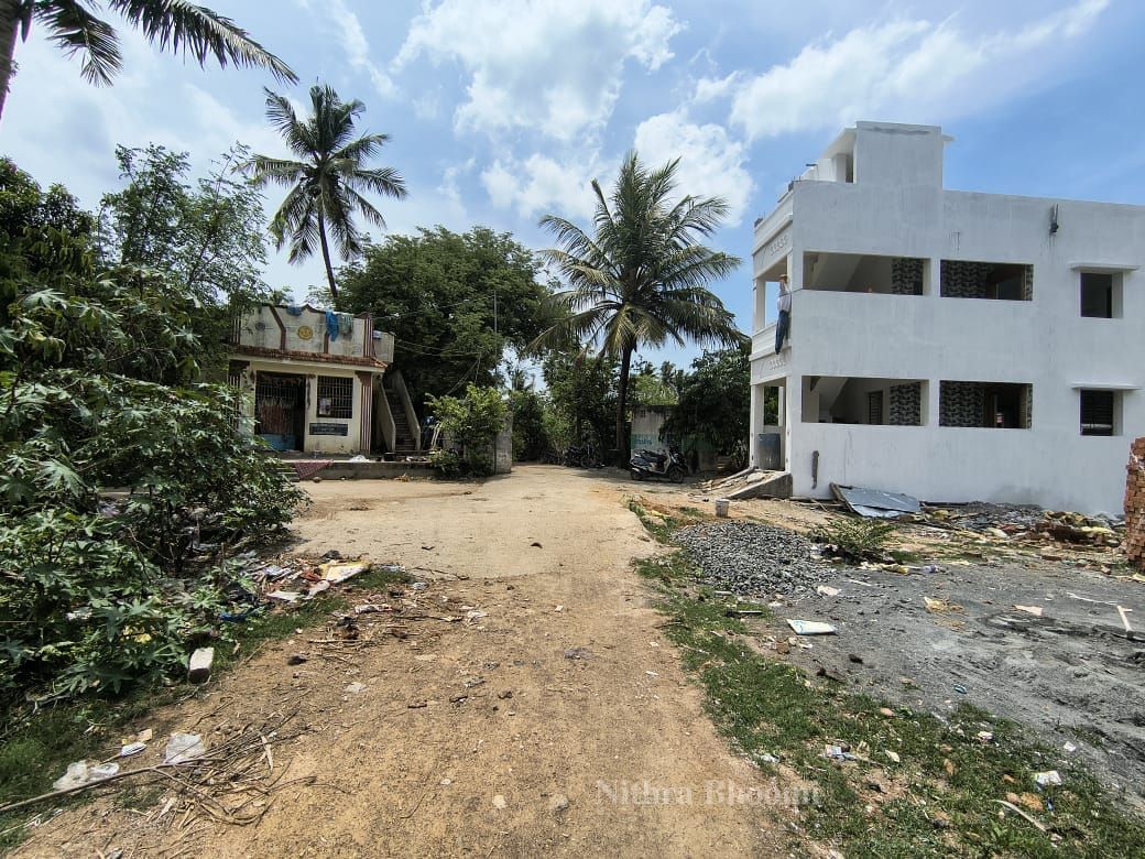
Agricultural Land Property in Urapakkam, Chennai
Vandalur, Chengalpattu
₹30,00,00,000
போன் மூலம் சரிபார்க்கப்பட்டது
21 September 2026 அன்று சரிபார்க்கப்பட்டது
Kamalanathan
(உரிமையாளர்)|******1804
அடிப்படைத் தகவல்
பதிவிட்டவர்தரகர்
சொத்து வகைவிவசாய நிலம்
பதிவு நோக்கம்விற்பனைக்கு
இடம்
Urapakkam, Chennai, Chengalpattu, Tamil Naduமேப்பில் பார்க்கMap
நகரம்Vandalur
வணிக விவரங்கள்
மொத்த பரப்பளவு5.39 ஏக்கர்
விலை / (சதுர அடி, ஏக்கர், முதலியன)30,00,00,000 / ஏக்கர்
மொத்த விற்பனை விலை1500000000
கடன் உதவிஆம்
விலை பேரம் செய்யலாம்ஆம்
திசைவடக்கு
குறிப்புகள் / விளக்கம்Based on your photo, here are the complete Land Details:
*COMBINED SKETCH FOR http://S.Nos : 166, 167 OF OORAPPAKKAM VILLAGE*
- *District:* Chengalpattu
- *Taluk:* Vandalur
- *Village:* Oorappakkam - on GST Road, NH-45
- *Location on Road:* Between Vandalur to Guduvanchery stretch. Arrow shows TO CHENNAI on left, TO TRICHY on right.
- *GST Road Frontage:* 293 Feet as per plan. Note at bottom says approx 280 ft frontage x 850 ft depth.
*Survey No wise Extent - As per printed plan:*
Survey No Extent
166 - 1A 1 Acre 05 Cent
166 - 3A1 0 Acre 57 Cent
166 - 3A2 0 Acre 57 Cent
166 - 3B 0 Acre 60 Cent
167 - 1 2 Acre 50 Cent
**Total Printed** **5 Acres 39 Cent**
> Handwritten correction on top says *5 Acres 29 Cent*. There is a 10 Cent difference. You have to verify with Patta / A-Register.
*Handwritten Split - This is important:*
The broker / owner has split the land into 2 parts:
1. *Middle Portion Marked in YELLOW - 1 Acre 15 Cent (actual 1.14)*
This is http://S.No 166/3A1 + 3A2 (57 + 57 Cent). Arrow on left says `1-15 Sent`.
2. *Outer Portion Marked in ORANGE - 4 Acre 14 Cent*
This is http://S.No 167/1 (2.50) + 166/1A (1.05) + 166/3B (0.60). Arrow on right says `4-14 Sent`.
Top note: `4-14 Sents + 1-15 Sents = 5-29 Sents` - confirms the split.
*Measurements in the sketch:*
The plan shows side measurements in meters and feet:
- North side: 47.8m (156'-9")
- East side: 71.0m (233'-0") + 46.8m (153'-6") + 51.8m (170'-0")
- GST Side: 61.4m (201'-5") + 62.0m (203'-4") + 29.6m (98'-3")
*Compass Note:* In this sketch North is at the BOTTOM of the paper, South at the top. So the land is on the North side of GST Road, facing South.
*Other Hand Notes on paper:*
- Box with `48` - might be 48 cents road side bit
- `8 1/2 Ground` - Local broker measurement. 1 Ground = 2400 Sqft. 8.5 Ground = 20,400 Sqft = ∼46.8 Cents.
- Bottom left: `Pirandai 280 adi, Pes 850 adi feet` = Frontage 280ft, Depth 850ft
- Bottom right: `... velai 32 C` = likely Rate 32 Lakhs / Cent
*In Sqft:*
- 5.29 Acres = ∼2,30,432 Sqft
- 4.14 Acres = ∼1,80,005 Sqft
- 1.15 Acre = ∼50,426 Sqft
If you are planning to buy, next documents to check:
1. Patta for 166/1A, 3A1, 3A2, 3B and 167/1
2. EC for last 30 years
3. FMB to confirm road width and actual frontage after NH service road leaving
வசதிகள்
premium
பார்வைகள்6
விசாரணைகள்1
பதிவிட்டவர்broker
பதிவு தேதி21 செப்டம்பர், 2026
ID: NB-2026-09-1347